Skip to content
Z Point: The Short Walk from Kemmangundi's Raj Bhavan
Chikmagalur Kemmangundi

Z Point: The Short Walk from Kemmangundi's Raj Bhavan

Best time: September to March, for clear views3 min read
Overview

Overview

Z Point sits about 5 km from Kemmangundi and is reached by a short, roughly 3 km walk that begins at the old Raj Bhavan — easy enough that it's often treated as part of a Kemmangundi day out rather than a trek in its own right. The payoff is a genuinely wide, open view across the surrounding ridgelines, particularly good toward late afternoon.

From Kemmangundi

~5 km

Walk from Raj Bhavan

~3 km

Entry fee

None

Distance from Chikmagalur

~67 km

Before you go

Costs & entry/exit rules

Costs

  • EntryFree

Entry & exit

No permit required

Best walked in daylight hours; late afternoon gives the best light for the view.

  • No permit needed — this is a marked walk from the Raj Bhavan gardens, not a forest-permit trek.

Required documents

What to carry

Packing list

Comfortable walking shoes A light jacket — it's breezy at the point
Questions

Frequently asked questions

No — it's a short, roughly 3 km walk from Kemmangundi's Raj Bhavan gardens, easy enough for most fitness levels.

Book direct

Where to stay for this trip

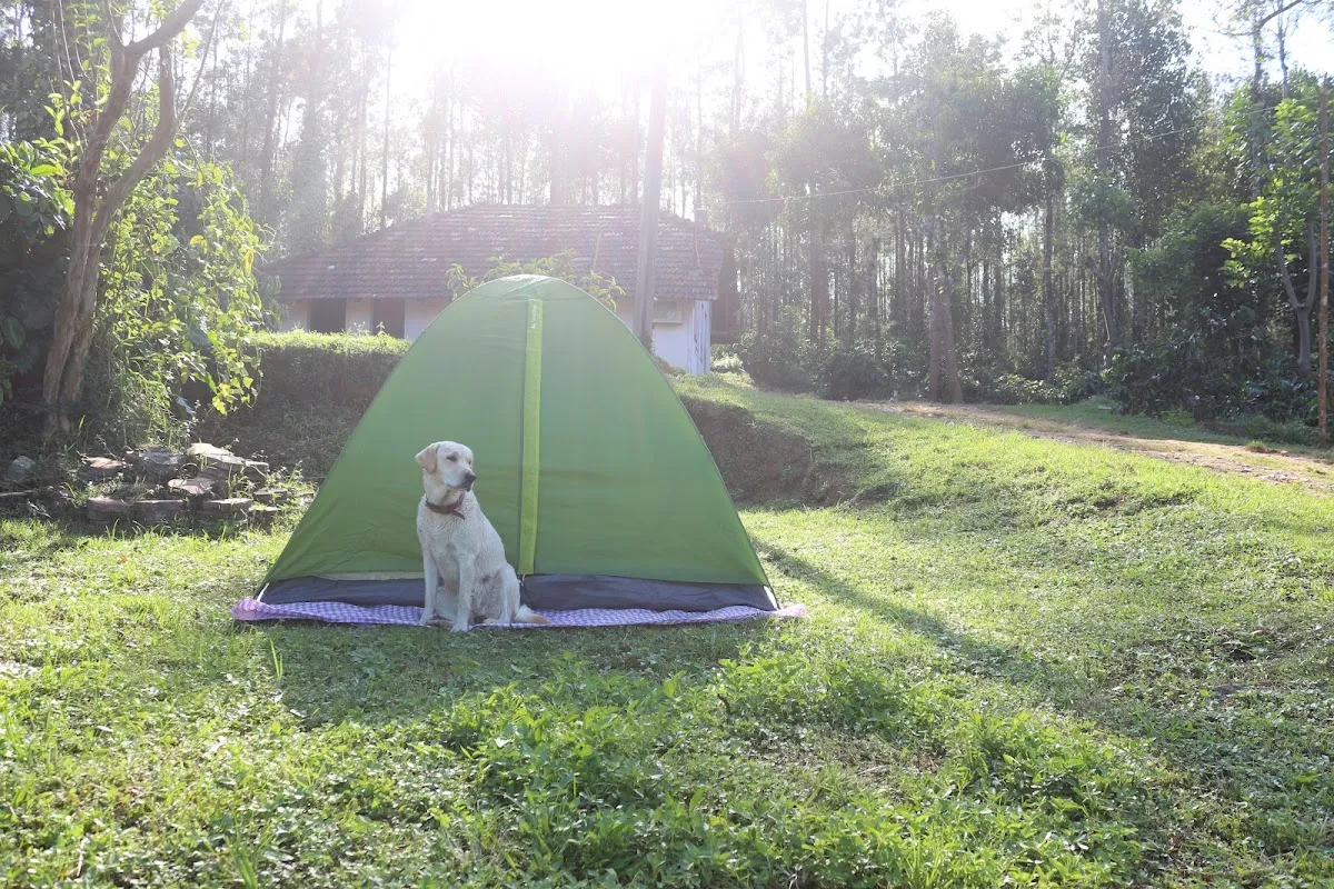
CAMP ALPHA, Chikmagalur
Camping Bonfire nights
4.5 out of 5, 167 reviews

Ridge country outside Chikmagalur, Chikmagalur

CAMP ALPHA

Tents on a ridge, with the Ghats for a horizon

A ridge-top campsite with proper tents, a nightly bonfire and a horizon made entirely of Western Ghats — closer to camping than to a resort, and priced like it.

  • Ridge and valley views
  • Nightly bonfire
  • Treks from camp

2 guests1 bedrooms1 bathsHomestay

₹1,600 / night
View Details

An easy add-on to a Kemmangundi day trip from Camp Alpha Chikmagalur.

Keep exploring
The marked trekking trail climbing Nethravati Peak, Kudremukh National Park
Chikmagalur Kudremukh Samse

Trek guide 7 min read

Nethravati Trek Guide: Itinerary, Permits, Charges & Best Time

A 14 km round trip through shola forest and open grassland inside Kudremukh National Park, ending on a ridge with views across the Western Ghats.

September to May — trails turn slippery and leech-heavy during the June–August monsoon

Read guide
The horse-face summit ridge of Kudremukh Peak, seen from the approach trail
Chikmagalur Kudremukh Mullodi Samse

Trek guide 7 min read

Kudremukh Peak Trek: Permit, Route, Cost & Best Time

An 18 km round trip to Karnataka’s second-highest peak, through Shola forest and rolling grassland from the hamlet of Mullodi.

September to May — the Forest Department restricts access during the heaviest monsoon months

Read guide